Petron–Vegoritis tunnel
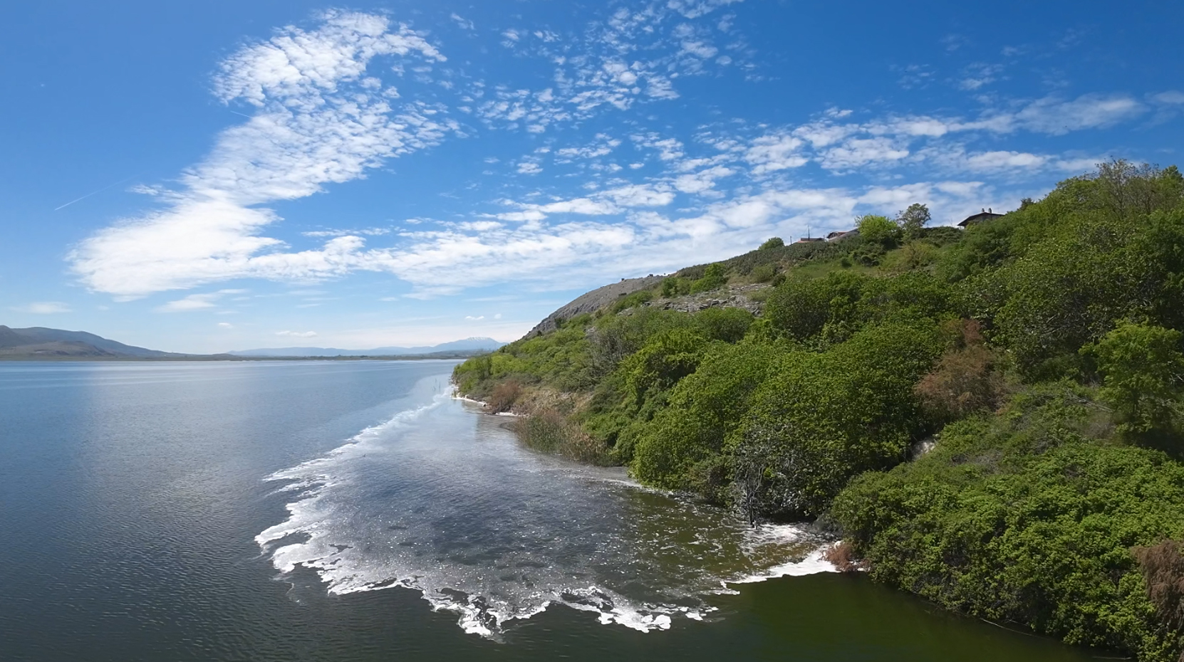
Lake Vegoritis is the final reservoir of rain and snowmelt from the wider watershed of the region’s four-lake complex, which covers an area of 1,853 km².
To the north, the waters originate from the southern slopes of Mount Vora, flowing mainly through the Panagitsa and Arnissa streams directly into Lake Petron and, primarily, into Lake Vegoritis. To the east, the waters are collected from the northwestern part of Vermio via the Farangi and Ano Grammatiko streams. To the west, the waters originate from the southeastern outskirts of Verno and, via Lakes Zazari and Cheimaditis, are channelled through an 8-kilometre-long artificial trench into the Amynta stream, eventually flowing into Lake Petron. In the past, groundwater pumped as part of efforts to lower the water level at the Anargyron lignite mine also flowed into this channel. To the south, water is collected from the entire Eordaia basin and flows through the Soulou stream into Lake Vegoritis. From Lake Vegoritis, the waters flow through underground channels to Lake Agra and from there eastward (waters from the Edessa waterfalls) to the Loudias River and finally into the Aegean Sea at the confluence of the deltas of the Galikos, Axios, and Aliakmon.
The first major man-made intervention in the area took place in 1955 by the Public Power Corporation (DEI) with the construction and operation—until 1989—of a water transfer tunnel from Lake Vegoritis to the Agras Hydroelectric Power Station, resulting in the lake’s water level dropping.
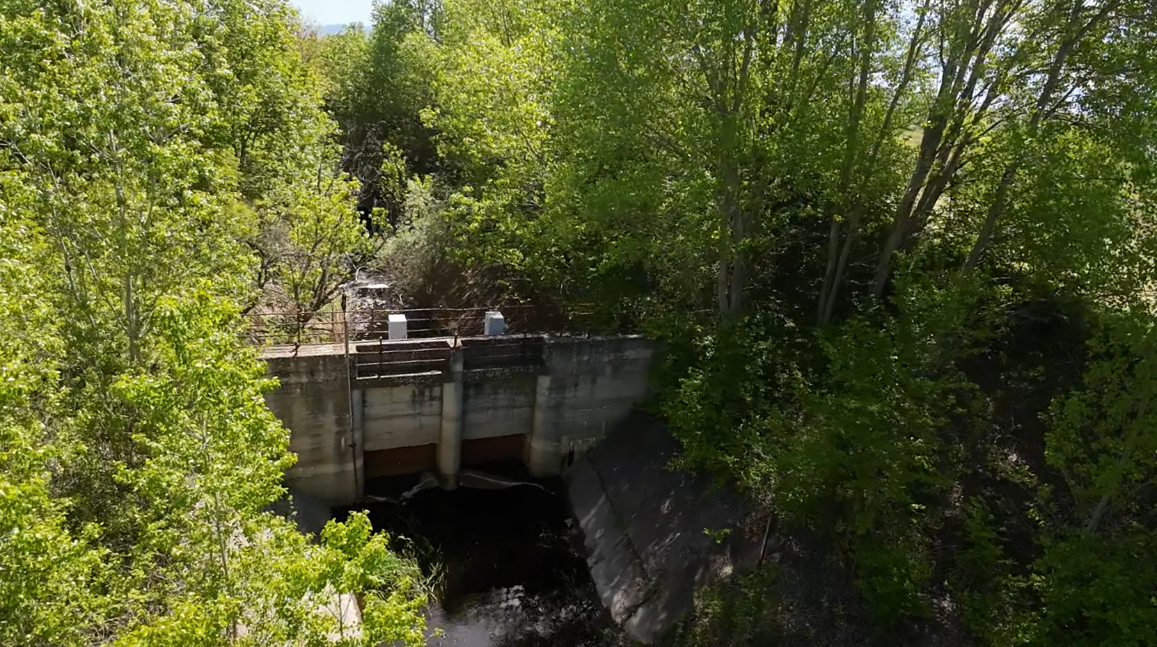
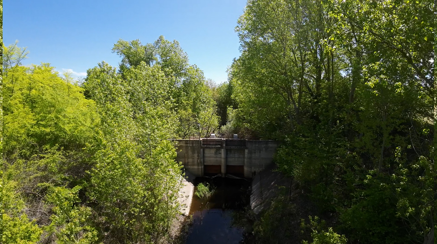
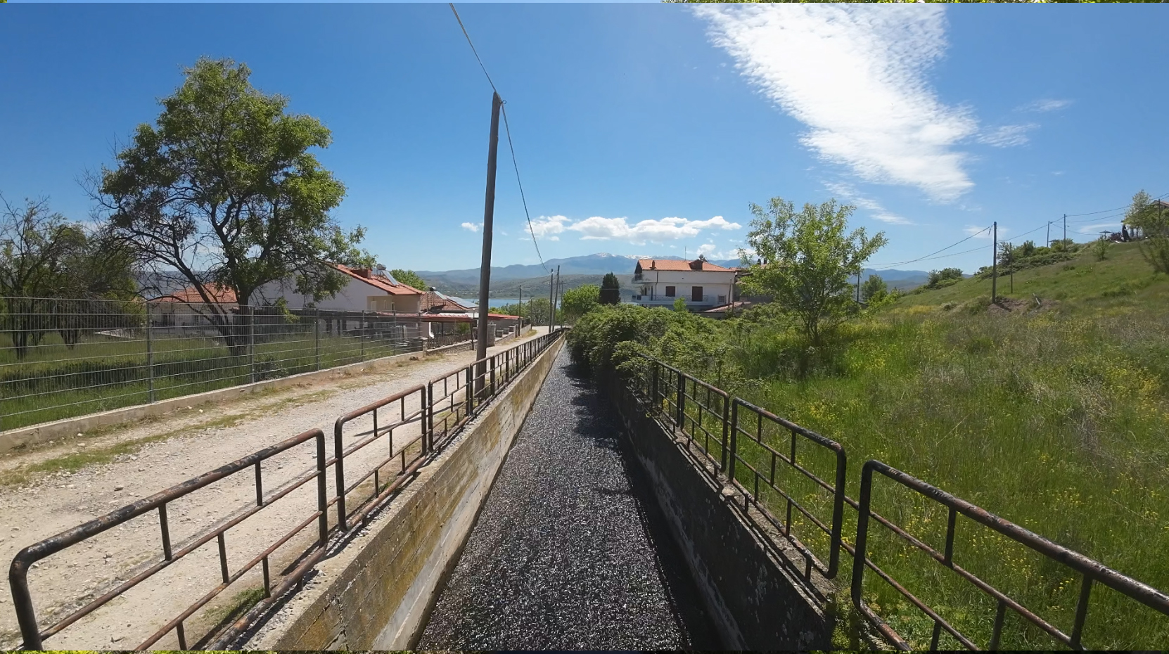
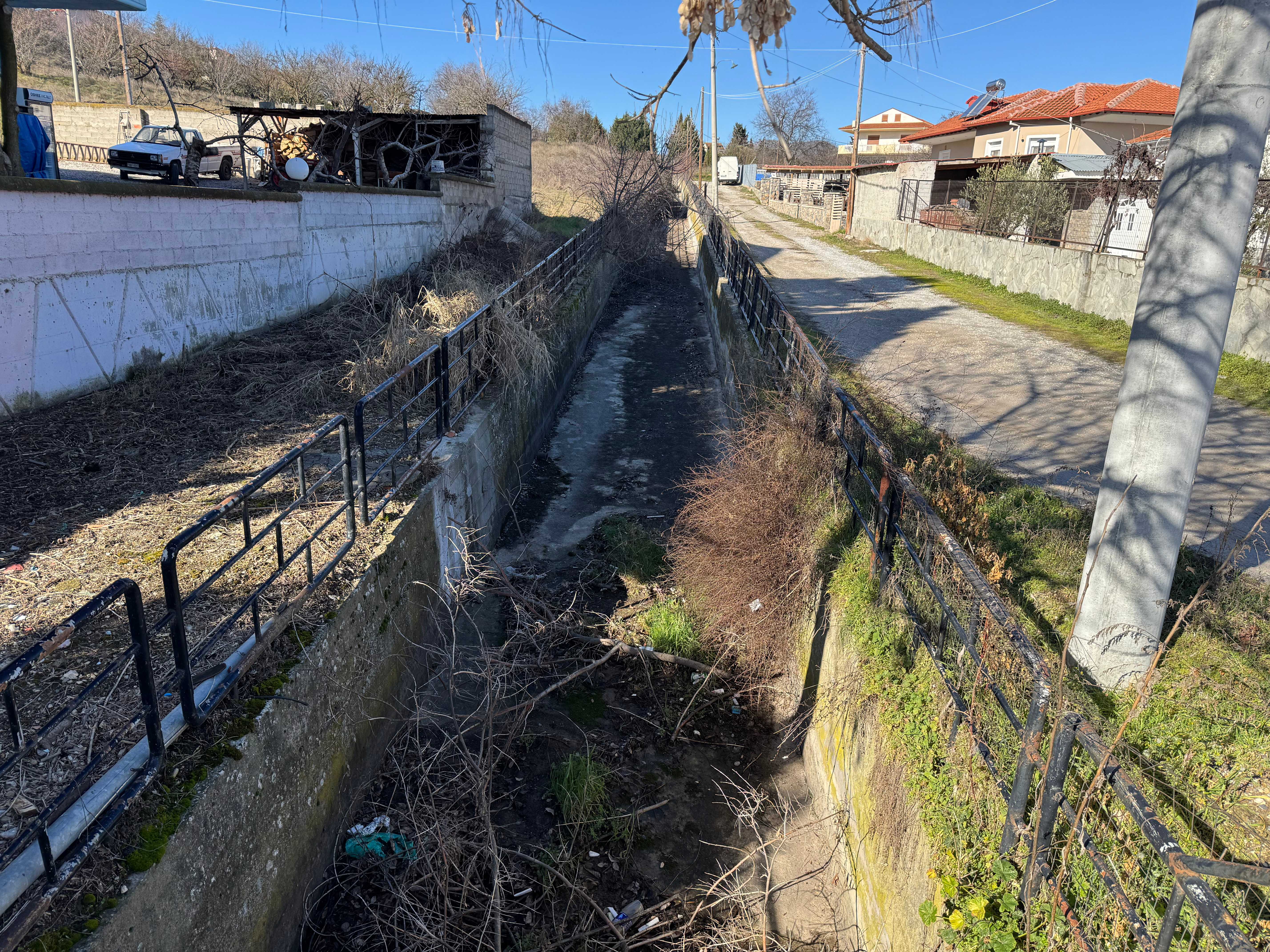
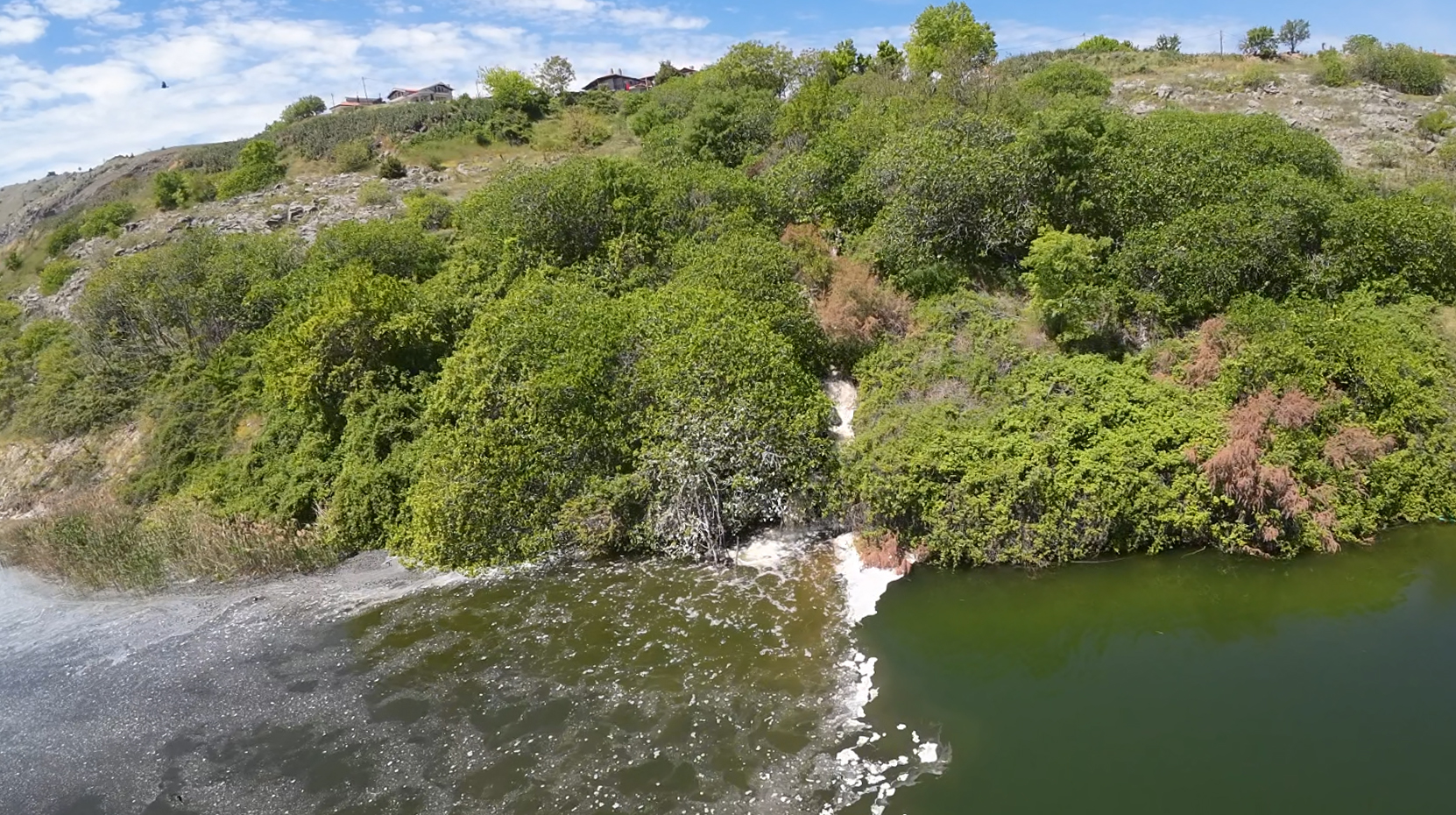
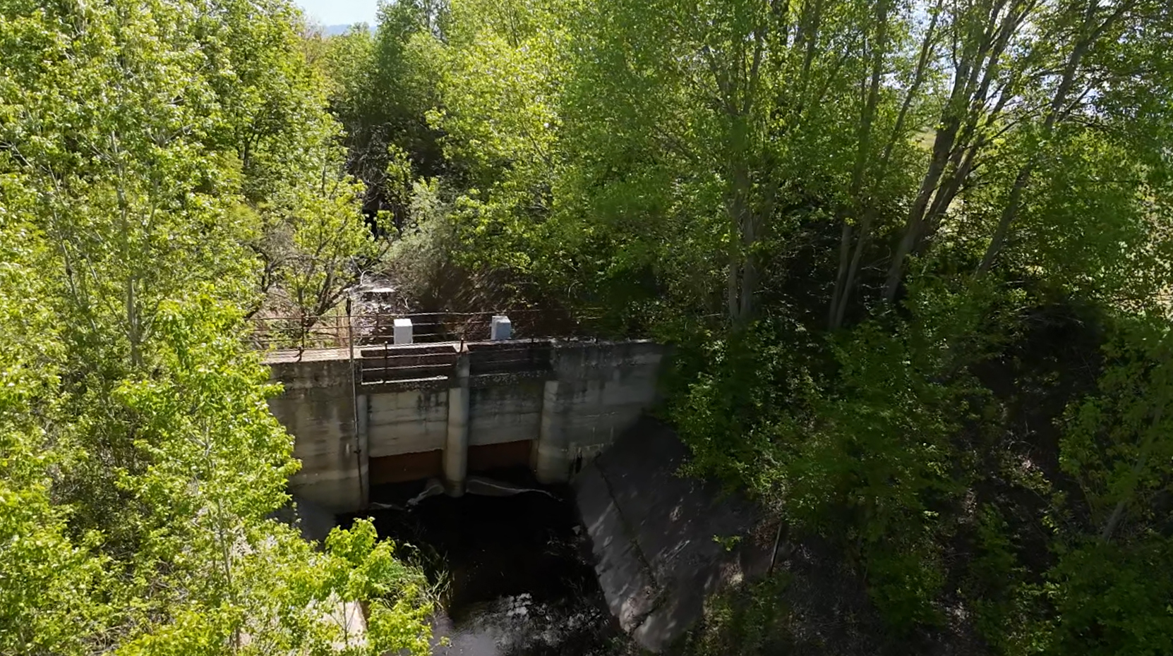
To provide additional water to Lake Vegoritis, the Petron Canal and Tunnel were constructed in 1962–63 - Vegoritis Canal and Tunnel were constructed in the Agios Panteleimon area, with a total length of 2.5 km, so that excess water from Lakes Zazari, Cheimaditis, and Petron would flow into Lake Vegoritis via a sluice gate. In the first year (1963), Lake Petron supplied Lake Vegoritida with 170,106 m³, but after its water level dropped, this supply now occurs only during the period from December - May and always depending on the surplus water in Lake Petron. In recent years, the tunnel has been operational when the water level of Lake Petron rises, while it remains inactive during dry spells.
How to Get There
The tunnel has two entrances:
A) The entrance from Lake Petron, where the sluice gate is located; you can find it among the vineyards in the area.
B) The exit, located at the southern edge of the village of Agios Panteleimon. It is easily accessible from the village of Agios Panteleimon. Leave the coastal road at the Naoumidis restaurant and head south along the paved road. The tunnel is visible from the ditch located at the edge of the village, on the road leading to the pumping station.
Nearby activities and places of interest
· Visit the old pumping station.
· Take a stroll through the alleys of Agios Panteleimon.
· Take a walk along the shores of Lake Vegoriti, head up to the pier—where, as usual, you’ll find many amateur fishermen—and explore the fishermen’s flat-bottomed boats.
· Visit the village taverns and try some fish from the lake.
· Visit the open-to-the-public wineries of the Kyr-Yianni Estate, the Alpha Estate, and the Vegoritis Winery.
Photos